[ Forum Index ] [ Information ] [ Meme Media ] [ About Tony ]
Little Brother: All down hill from there
Posted by Tony on 28th January 2013 at 13:11:16
In response to One week to act: one lifetime isn't enough posted by Tony on 19th January 2013 at 15:56:43
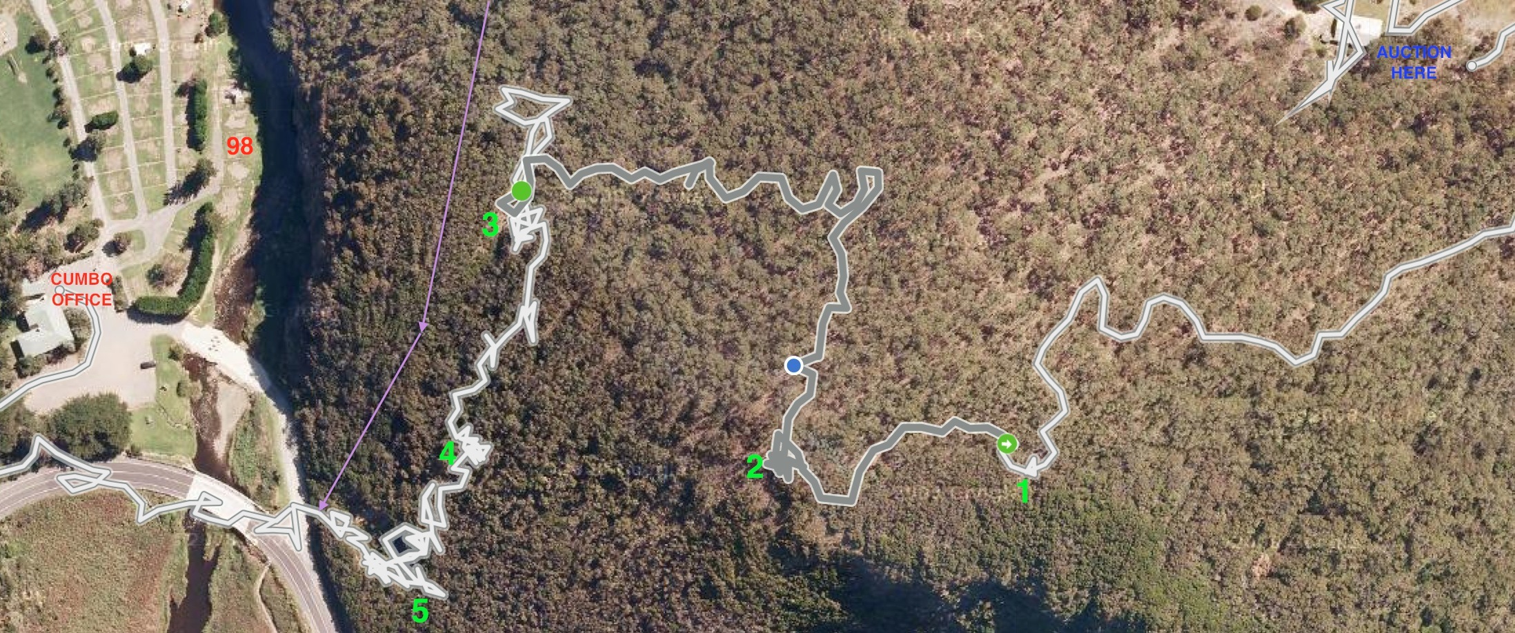
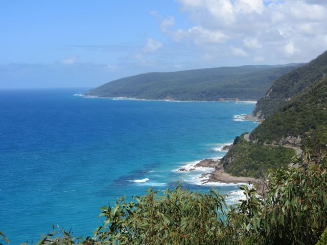
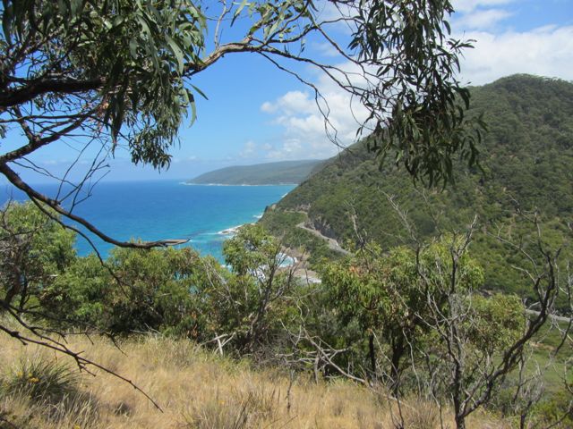
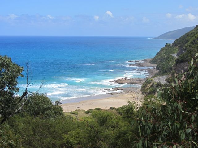
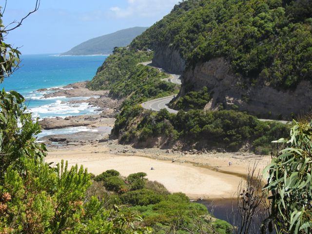
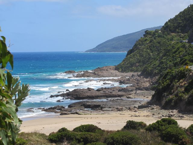
| During the intervening week, there was an on again-off again idea that we might be able to tackle one of Cumbo's priorities, the track to Castle Rock that continues to be used despite VicRoads buggering the road end of it long ago, an action that may be partly explained by the fact that the then well formed and long used track had never made it onto maps. It hadn't needed to. So having spent a long Thursday getting to and from and hanging out around GORCC's Have Your Say day for Point Grey and more, including a walk to the pier, I decided that the time after my trip down for the auction might be better spent remaking the connection from Little Sheoak to the Cumbo-Castle Rock track. Traffic and a venue change made me late enough to have "not missed anything" with no serious bids but some willing to start negotiations. Not my worry. Took advice that the best starting route was via the vehicular track to the ridge line joining The Brothers which bound the ocean side of Little Sheoak, but had good reason not to take the suggestion the route would be easier to find from below. It would be, save for age ensuring anything difficult needs to be downhill and that I had lost track of the actual roadside start. In the finish, I failed to get close enough to the riverside cliff tops to find the track further up, not even at the VicRoads scar which I entered from further around the lip, only sharing the improvised track for one short final descent. Between their iPhone and Mac Apps, TrailRunner does a good enough job for the purpose, save some data noise when you pause your journey but don't pause it. I've annotated a screen grab which you can see at 3x via View Image of Open Image in ... The walking route deviation slightly east of north from photo point 2 follows a broken down fence line that does not represent any known property boundary and is nowadays totally within Great Otway National Park. |